Version 16 for the SCAR is now active

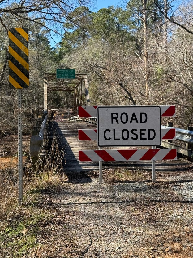
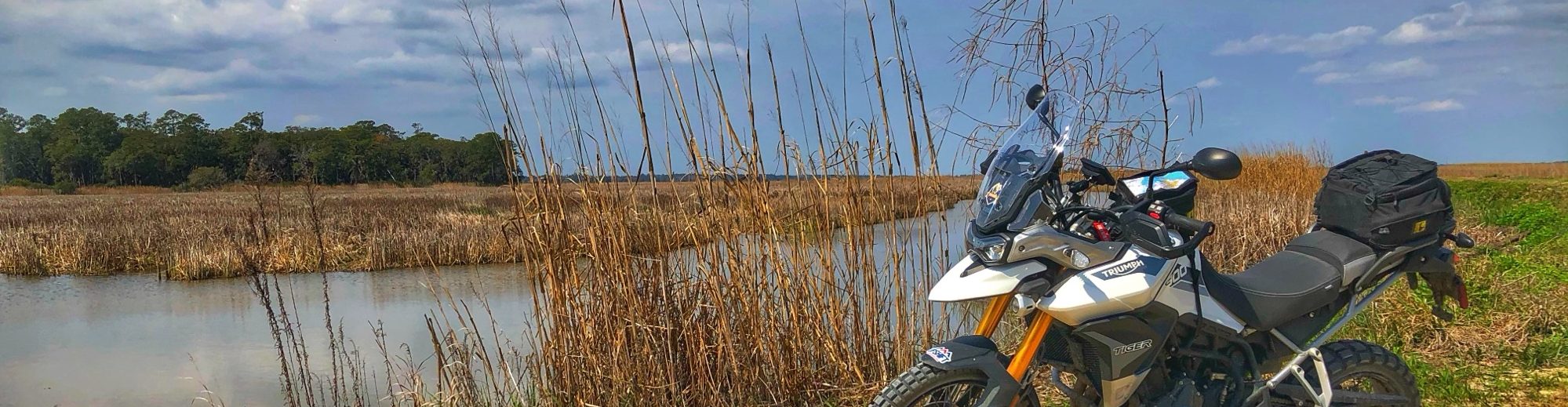
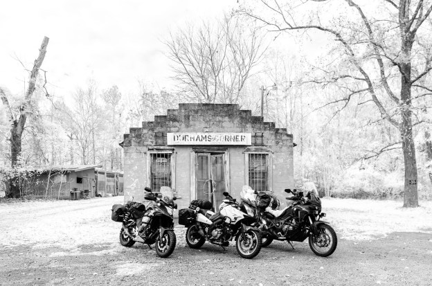
Well after working thru some road closures and doing some significant reroutes Version 16 of the SCAR is now active. I’ve also made some changes in labeling some of the alternates, those routes in the Upstate region near the NC/GA border are now labeled as NW Alternates. Another big change is the removal of certain areas on the NE Alternate due to land issues and extreme drainage and weather-related issues. Other than that, the SCAR hasn’t changed to much so download the updated version of the SCAR on the Route Information page and tread lightly.

What is the South Carolina Adventure Route

The South Carolina Adventure Route (SCAR) loops through approximately 1,000 miles of rural South Carolina. Follow it, and you will see mountains, ocean, forests, countryside, state parks, historical sites, and quaint towns–all on a mix of paved and un-paved public roads (approximately 55%/45%). The SCAR also connects to the Smokey Mountains 500, the Georgia Traverse, and the Trans-America Trail (TAT), providing TAT riders with an additional rural coast-to-coast option. SCAR GPS files (.gpx tracks) are available on the “Route Information” page of this site.

Join the SCAR Facebook group for status updates, ride reports, and to interact with other SCAR enthusiasts.

Route Notices as of 8-17-2025

The following route notices are current areas that have issues on the South Carolina Adventure Route. These issues can vary from bridge closures to roads that are impassable due to drainage and storm issues. Route notices will change so check frequently.

NE ALTERNATE: Sleepy Prong Rd, between Rhems Rd and Big Bay Rd (North of Andrews) is impassible due to 4×4 damage (deep mud and ruts). This section is fragile. Please avoid it until it dries out and is repaired.

NE ALTERNATE: Flat Creek Rd is now gated on both north and south sides between Godbold Dr. and Mechanicsville Hwy. Bypass the gate by taking Mechanicsville Hwy then east on Mont Clare Rd. and then head north on Flat Creek Rd.

CONNECTOR-LOOP: Rawls Rd (East of Newberry) is closed due to a bridge issue. A possible detour is via Suber Rd and St Matthew Rd. Resolution date is unknown.

MAIN LOOP: Camp Creek Rd (North of Salem) between Whitewater Rd and Hwy 11 is closed for bridge repair at Fall Creek.

MAIN LOOP: Hudson Rd. and Cannon Bridge Rd. currently have bridge replacements going on with project end dates supposedly in mid-summer.